


Thursday, Nov. 19, 2026
UF Jacksonville, 801 W Bay Street.
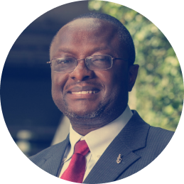
Dr. Chimay Anumba
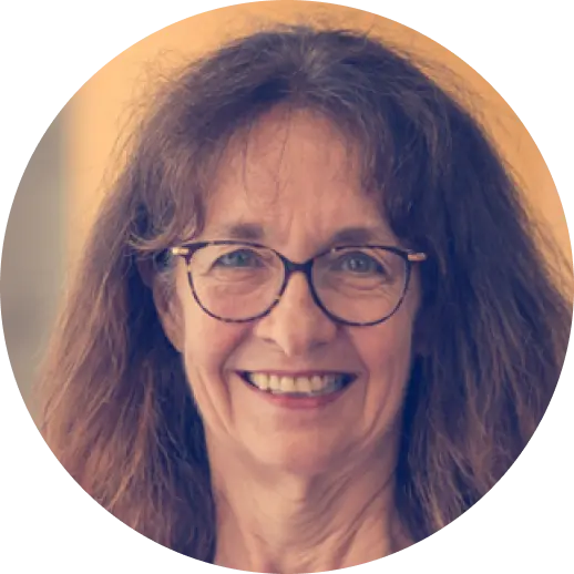
Dr. Siyka (Sisi) Zlatanova
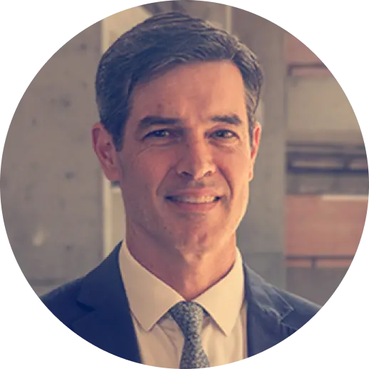
Jeff Carney
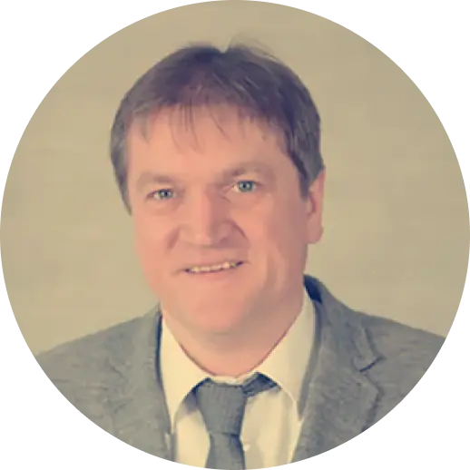
Volkeer Coors
Federico Fernández
Daniel Orellana
Mateo Neira
Dr. Samad Sepasgzoar
08h30 – 09h00
Registration and check-in
09h00 – 09h10
Welcome > Dr. Chimay Anumba
09h10 – 10h00
Opening Keynote Speaker > Dr. Siyka Zlatanova
10h00 – 10h15
Coffee Break
10h15 – 11h45
Invited Speaker Panel > Jeff Carney, Volker Coors, Federico Fernandez, Daniel Orellana, Mateo Neira.
11h45 – 13h00
Lunch
13h00 – 14h30
Paper Track 1: Technologies for Urban Digital Twins
14h30 – 16h00
Paper Track 2: DT Applications for Resilience
16h00 – 16h15
Coffee Break
16h15 – 17h00
Closing Keynote Speaker > Dr. Samad Sepasgzoar
17h00 – 19h00
Video Showcase & Networking Reception
Friday, Nov. 20, 2026
UF Jacksonville, 801 W Bay Street.
Avinash Srivastava
09h00 – 09h30
Welcome to Day 2
09h30 – 11h00
Paper Track 3: Public Participation & Ethics in UDTs
11h00 – 11h15
Coffee Break
11h15 – 12h00
Closing Keynote Speaker > Avinash Srivastava
12h00 – 12h30
Concluding remarks
12h30 – 13h30
Lunch
Supplemental Afternoon Programming (offered concurrently)
13h30 – 16h30
Optional Workshop: Development of a DT Toolkit
This will be a collaborative, hands-on workshop, led by the DTRUE Organizing Committee. The objective of the workshop is to deliver a white paper on best practices for creating UDTs for resilience planning.
13h30 – 15h30
Optional City Excursions
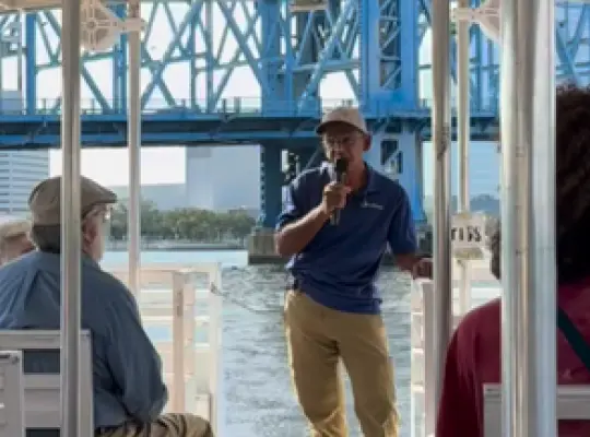
Boat tour of the North and South Banks of the St. Johns River, in partnership with St Johns Riverkeeper. Jimmy Orth, Executive Director, will lead the tour with a discussion of the Riverkeepers’ mission and work in Jacksonville over the past 25 years in water pollution, advocacy, youth education (e.g., the RiverX experiential learning program), and resilience project installations (e.g., their vertical oyster gardens (VOGs)).
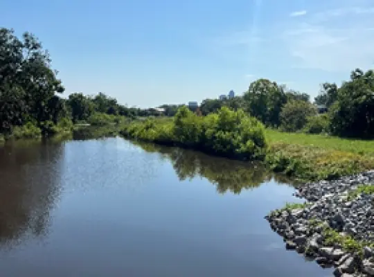
Multi-site tour by open-air shuttle of the ongoing McCoys Creek Restoration, in partnership with Groundwork Jacksonville. Kay Ehas, CEO, will lead the tour, highlighting the multi-year effort to daylight McCoys Creek and restore its natural flow regime to mitigate what had become routine, sunny day flooding. Kay will also discuss Groundwork Jacksonville’s core commitment to community engagement and the strategies they use to empower communities to co-design the restoration and revitalization projects.
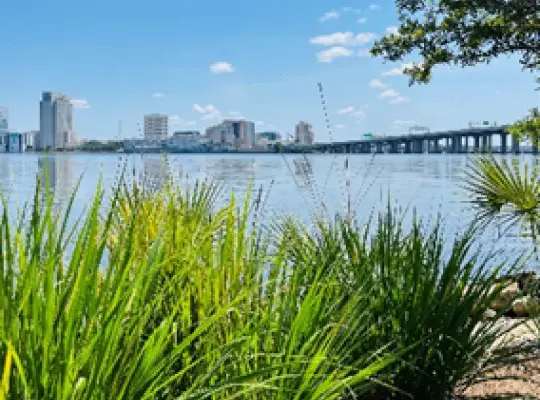
Walking and water-taxi tour of resilience efforts at city parks, in partnership with JaxParks. The excursion will begin with a walking tour along the Riverside Arts Market and the Riverwalk, followed by a water taxi across the St. Johns to visit the RiversEdge Park on the South Bank. The excursion will be led by Johnathan Johnson, Landscape Architect, who will showcase the resilience planning tools they use when designing city parks.
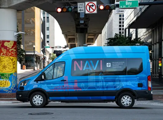
Autonomous Innovation Center (AIC) tour and NAVI ride, in partnership with Jacksonville Transportation Authority (JTA). Take a tour of JTA’s AIC command center and ride on one of their Neighborhood Autonomous Vehicle Innovation (NAVI) Ford Transits on the country’s first fully autonomous public transportation system network.
Is a Professor and Dean of the College of Design, Construction, and Planning at the University of Florida. A Fellow of the Royal Academy of Engineering, FREng, he holds a Ph.D. in Civil Engineering from the University of Leeds, UK; a higher doctorate – D.Sc. (Doctor of Science) – from Loughborough University, UK; and an Honorary Doctorate (Dr.h.c.) from Delft University of Technology in The Netherlands. He has over 500 scientific publications and his work has received support worth over $160m from a variety of sources. He has also supervised 62 doctoral candidates to completion and mentored over 25 postdoctoral researchers. He is the recipient of the 2018 ASCE Computing in Civil Engineering Award and is a member of the US National Academy of Construction (NAC).
is a SHARP Professor at UNSW Sydney and Head of the GRID Lab. She holds a PhD from Graz University of Technology, Austria, and is internationally recognized for her expertise in 3D modelling and spatial information technologies. Her research focuses on the integration of Building Information Modelling (BIM) and Geographic Information Systems (GIS), 3D indoor modelling, voxel-based representations, 3D data management, and AI-supported approaches for simulation and spatial data querying. Together with her research team, she advances Spatial Digital Twins, with a particular emphasis on strengthening their 3D capabilities and supporting innovative real-world applications. Dr. Zlatanova has an extensive international research profile, with more than 650 scientific publications and 23 edited books. She also serves as an Associate Editor for several highly ranked academic journals. Her research impact is further recognized through her inclusion in Stanford University’s list of the world’s top 2% most-cited scientists.
Jeff Carney is the director of the UF Florida Institute for Built Environment Resilience (FIBER). He is a registered architect and certified urban planner working at the interface of housing, neighborhoods, ecosystems, and hazards, with a focus on community-scale adaptation. He has led over 45 funded research projects totaling more than $14 million. His work has been recognized nationally with numerous awards in architecture, planning, and landscape architecture. His projects have been widely published and exhibited, including at the Venice Biennale. Jeff earned his bachelor’s degree in architecture from Washington University in St. Louis and master’s degrees in both architecture and city and regional planning from the University of California, Berkeley. While at Berkeley, he was awarded the Branner Fellowship to conduct a year-long research project studying the evolution of modernist neighborhood design in Europe, South America, and Asia—an experience that continues to shape his work today.
studied computer science at The TU Darmstadt and received his doctorate in computer graphics. Since 2002 he has been Professor of Computer Science and Geo-Informatics at HFT Stuttgart. His research focuses on Urban Digital Twins, 3D geospatial data infrastructures and the visualization of spatial data. From 2006-2017 he was Dean of Studies of the Information Logistics course, from 2019 to 2023 scientific director of the Institute for Applied Research. Since March 2023, he has been Vice-President Research and Digitalization at HFT Stuttgart. As a member of the Open Geospatial Consortium, Prof. Coors contributes his research results to standardization, for example in the CityGML Standard Working Group (SWG). He is a founding member of the joint commission “3D City Modelling” of the German Society for Cartography e.V. and the German Society for Photogrammetry, Remote Sensing and Geoinformation e.V. and Vice-president of the Urban Data Management Society.
is the founder of URBANLY, a startup that creates land use simulation models to understand the impact of policy changes. Before URBANLY, co-founded two startups: Synthicity which created novel technology to visualize huge amounts of urban data with procedural technology, acquired in 2015 by Autodesk Inc, and UrbanSim, a startup that grew to 4M annual revenue in a few years, putting together a team of 25 talented professionals. Federico holds a MSc. CS, and comprehensive experience in academic research in theoretical CS (formal software verification with Joseph Sifakis, 2007 Turing Award) and its intersection with Planning.
is a Professor at the University of Cuenca and a co-founder of LlactaLAB Sustainable Cities. His research, rooted in Geospatial Sciences, adopts a multidisciplinary approach to exploring the complex interactions between human societies and the environment. Specifically, his work focuses on urban sustainability analysis, mobility, and public spaces, leveraging his expertise in GIS and spatial analysis to understand people-environment dynamics.
is a Senior Machine Learning Engineer at VU.CITY, a London-based company building 3D digital twins of cities, where he leads AI/ML initiatives spanning 3D reconstruction, agentic AI systems, and semantic understanding of the built environment. Prior to this, he spent eight years at Foster + Partners as an Associate Partner where he led urban research and development, combining spatial data science and urban analytics within the architecture practice. He holds a PhD in Network Science and Urban Analytics from the Centre for Advanced Spatial Analysis (CASA) at University College London, where he remains an Honorary Research Fellow, and has been affiliated with the Alan Turing Institute. His research spans spatial networks, graph neural networks, and geospatial modeling. His current work focuses on applied ML research, spanning generative models and agentic systems, and on how machine learning systems learn to represent, reconstruct, and reason about the physical world.
is an Associate Professor of Arts, Design & Architecture at the University of New South Wales. A/Prof Sepasgozar’s expertise lies in mixed research methods (i.e. qualitative and quantitative) and in interdisciplinary areas of building construction, technology (e.g. equipment, BIM and laser scanners), Smart Cities, Smart Homes, Smart Building, and management (at organization and project levels). Other themes in which he has an interest are related to creating needs and applications for new technologies (e.g., Digital Twin, Geo-ICT, Laser Scanners, BIM, and GIS) and automation to solve problems in construction, transportation, and urban management. A/Prof Sepasgzoar was named as Top Researcher nationally by The Australian and recognized as World’s Top 2% Researcher by Standard University based on his citations and research performance. He was also awarded as one of the World’s Top 1% Reviewers by Publons, Web of Science.
is the Vice President and Global Director of the Center of Excellence for Urban Analytics at AECOM. Over the past 25 years in the industry, Avinash has been involved in innovation at the intersection of technology, strategic planning, and design with a holistic, data-driven approach. He has a bachelor’s degree in urban planning and a master’s degree in landscape architecture. Avinash has worked on projects around the world and has specific experience in large-scale master planning and urban design, smart city strategy, energy and infrastructure planning with a specialization in scenario planning, decision support with multi-criteria modeling and analytics, digital twins and visualizations/simulations for public, private sector and military clients. He is the chief architect of AECOM’s Sustainable Systems Integration Model (SSIM™) – an award-winning digital tool for strategic master planning at site, city or regional scales and the Triple Bottom Line Model for comprehensive multi-criteria analysis for infrastructure and design projects.
Is an urban theorist and urban storyteller with a background in architecture. Carl serves as the Assistant Director of the Florida Institute for Built Environment Resilience (FIBER)and Assistant Scholar at the School of Architecture at the University of Florida (UF). Brisotto holds a Ph.D. in Design, Construction, and Planning from UF and a Professional Architecture degree from the University IUAV of Venice. At the core of Carla’s research lies the intersection of urbanism and environmental narratives. Her research focuses on productive landscapes and climate change’s asymmetric impacts on population and their places through contemporary and historical lenses. Carla employs storytelling as a research method and works closely with communities within the Florida Resilient Cities Lab to understand the dynamics of spontaneous urban transformation. Currently, Carla is leading the international project “ReclaiMEDLand” funded by the Department of State of the United States of America, APS–Annual Program Statement 2023.